Omo Valley
In the southwest, around fifteen pastoral peoples coexist between the Omo River and the foothills of the highlands, accessible by 4x4 over seven to ten days.
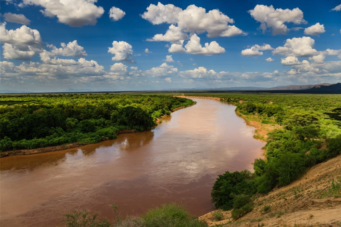
The lower Omo Valley stretches across the southwest of the country, between the slopes of the highlands and the Kenyan border at Lake Turkana. Our team has been leading expeditions there from Addis Ababa via Arba Minch, the road gateway situated 500 km from the capital, or by domestic Ethiopian Airlines flight to Jinka, which cuts out two days of driving. The region takes its name from the Omo River, which descends from the highlands over nearly 760 km before emptying into Lake Turkana, forming an ecological corridor inscribed on the World Heritage list for its prehistoric significance: it is here that some of the oldest remains of Homo sapiens were discovered, at the Kibish site.
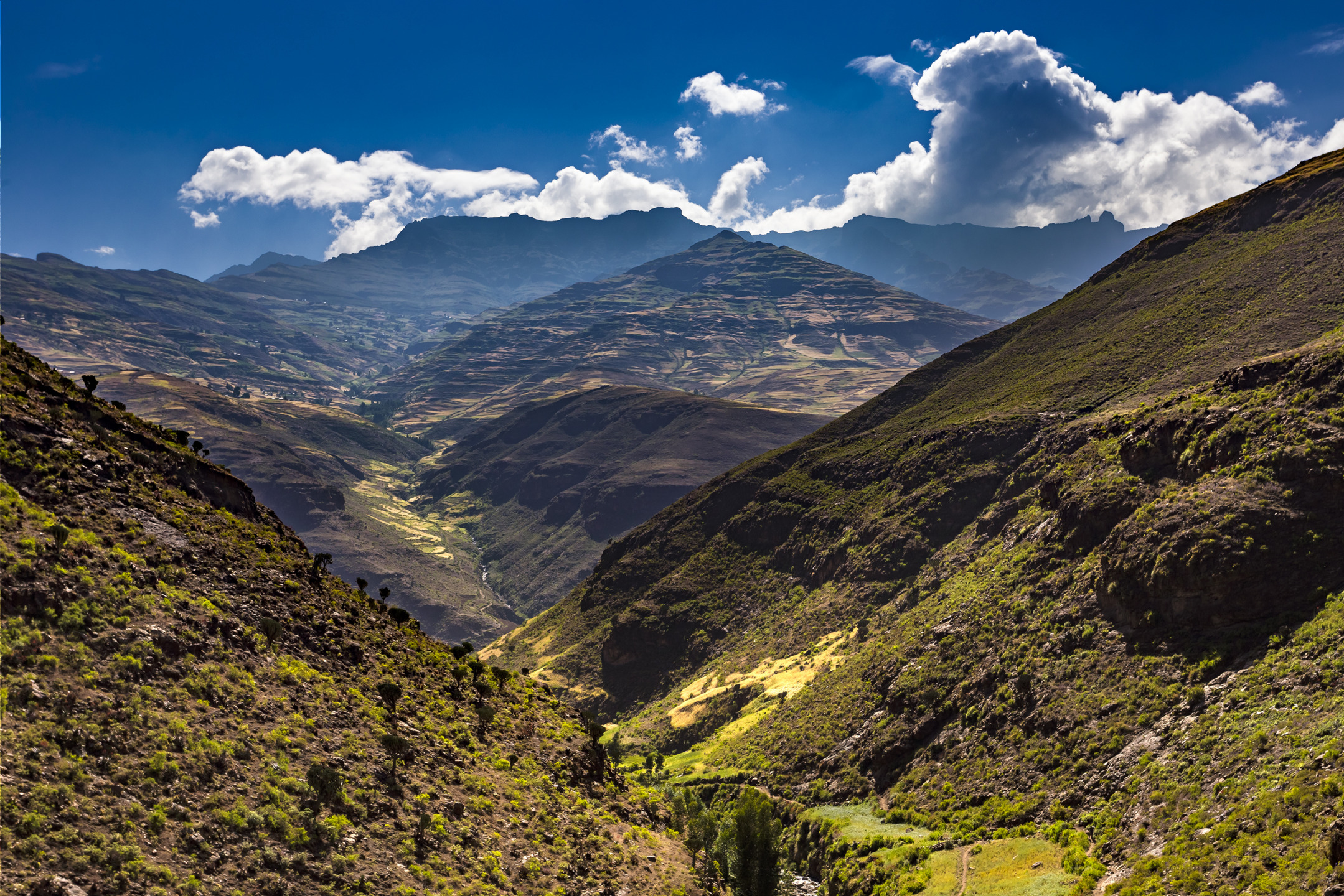
The landscape alternates between wooded savanna, riverside forests along the river, and dry hills covered in acacias. Temperatures frequently climb to 35–38°C during the day in the lowlands around Turmi and Omorate, while Jinka, perched at 1,490 m, remains more temperate, around 25–28°C. It is this geography of a warm basin bordered by the first mountain slopes that explains the human diversity of the region: approximately fifteen peoples coexist in a relatively compact area, each occupying a specific ecological niche.
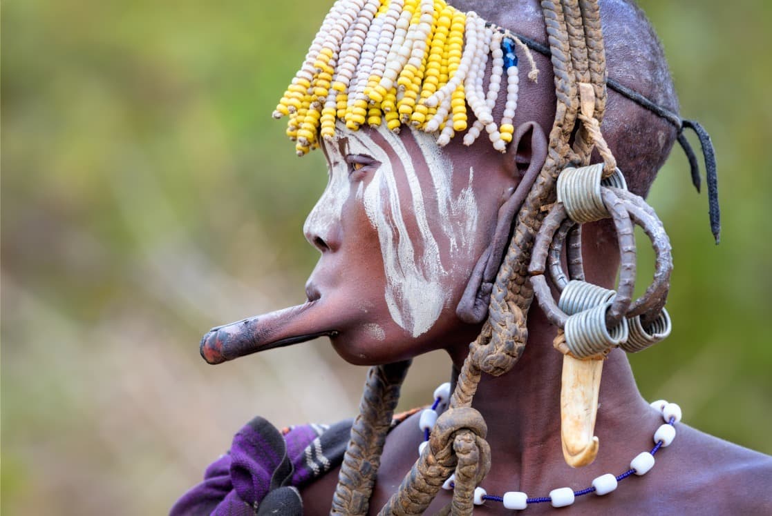
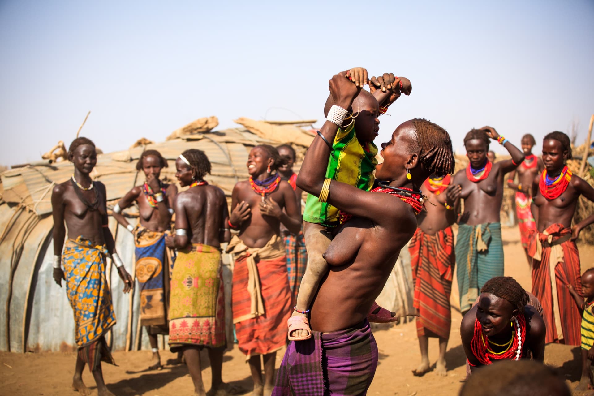
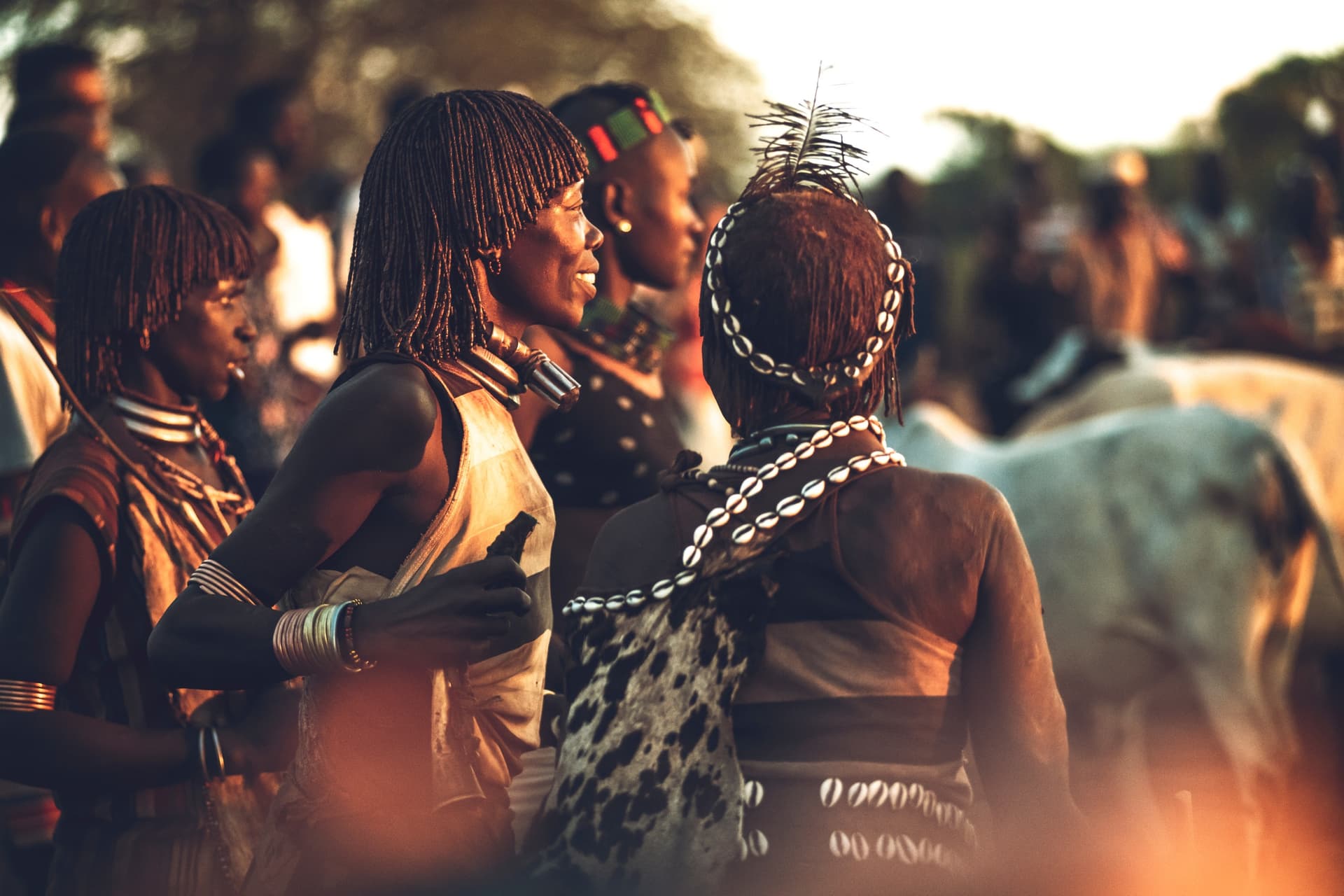
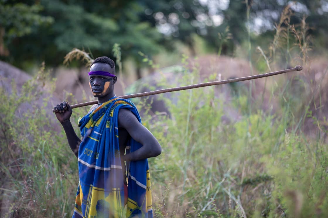
The Hamer, numbering around 50,000 people, live near Turmi and practice cattle herding combined with sorghum cultivation. Their male initiation ceremony, the ukuli bula, in which the young man must jump across the backs of lined-up bulls several times, takes place mainly between July and March according to family calendars. The Mursi, settled in Mago National Park west of Jinka, are known for the lip plates worn by married women. The Karo, numbering fewer than 2,000 individuals, occupy the banks of the Omo River at the villages of Kolcho and Dus, and practice body painting with white chalk and ochre. The Dassanech, semi-nomadic, live around Omorate in the delta. The Banna and Tsemay complete this tapestry, around Key Afer.
Rather than simply lining up village visits, our team structures itineraries around weekly markets, which remain the true heart of economic and social life: Key Afer on Thursday, Dimeka on Tuesday and Saturday, Turmi on Monday, Alduba on Tuesday. It is here that Hamer women come down to sell honey and sorghum, that the Banna purchase salt, that negotiations take place in Amharic mixed with local languages. The atmosphere is less confrontational than in villages that have become dependent on the passage of 4x4s. We work with guides from the communities themselves, which transforms the nature of the exchange and allows us, when timing permits, to witness a ceremony without commercial staging.
Distance is the other critical parameter. Between Arba Minch and Turmi, plan for 8 to 10 hours of driving, much of it on laterite tracks during the dry season, sometimes impassable during the rainy season. The ferry crossing the Omo at Omorate depends on the river level. A coherent loop, incorporating markets, encounters, and one or two natural sites such as Lake Chamo near Arba Minch or the Konso highlands, UNESCO-listed for their agricultural terraces, requires seven to ten days on the ground, not counting transfers from Addis Ababa.
The cuisine reflects this frontier between highlands and lowlands: you'll find teff injera in the lodges and restaurants of Jinka or Turmi, but also local dishes based on fermented sorghum, grilled goat, and Konso-style coffee, prepared with roasted husks rather than beans. Nights are spent in simple lodges such as Buska in Turmi, Eco-Omo in Jinka, or in mobile camps for more remote routes into Mursi territory.
Must-See Experiences
Key Afer weekly market. On Thursdays, the Banna, Tsemay, and Ari converge on the Key Afer plateau to exchange honey, tobacco, and grain. This is our preferred setting for a first encounter, standing in the crowd, without intermediaries.
Hamer bull-jumping ceremony. A male rite of passage that takes place around Turmi between July and March, preceded by singing and ritual whipping by the family's women. We coordinate with our local contacts to align the dates.
Mursi country in Mago Park. A full day's 4x4 journey from Jinka to reach encampments west of the Mago River, in an acacia savanna where herds still cross paths with buffalo and baboons.
Karo villages of Kolcho and Dus. Overlooking a bend in the Omo, these hamlets offer one of the clearest views of the river and its meanders, in the light of late afternoon.
Konso terraces. Midway between Arba Minch and Jinka, the fortified Konso villages and their dry-stone agricultural terraces, inscribed on the UNESCO World Heritage list, bear witness to an elaborate social organization still very much in place.
When to Go
The favorable season extends from October to February, with dry, passable tracks, hot days but nights dropping to 18–20°C in the lowlands. July and August remain possible despite occasional showers, and often coincide with the peak of Hamer ceremonies. Conversely, March to May concentrate the heaviest rains: the track between Konso and Jinka becomes difficult, some river crossings are impassable, and we advise against this period for anyone wishing to complete a full loop.
Temperatures vary significantly with altitude: 35°C in the afternoon at Turmi or Omorate during the dry season, against 26–28°C in Jinka, and cool nights around 15°C on the Konso plateau at 1,600 m. The range justifies luggage that combines lightweight clothing with a fleece for mornings at altitude.
Practical Advice
Plan for a minimum of seven days on the ground for a loop covering Konso, Jinka, Mursi country, Turmi, and one or two markets; ten days if you wish to add Omorate and the Dassanech or include Lake Chamo. The most efficient entry point remains a flight from Addis Ababa to Jinka, saving two days of driving, followed by a return by road via Arba Minch. The region naturally combines with the South and Rift Valley lakes on the return route, or in sharp contrast with the historic North for a three-week journey covering both Éthiopies—that of Christian churches and that of the pastoral societies of the south.
Comfort is deliberately modest: simple lodges with intermittent hot water, sometimes tent camps in remote zones. Travel by 4x4 is lengthy, often six to eight hours of driving per transfer day. This destination suits travelers curious about human societies, willing to embrace rusticity and heat, and able to accept that a ceremony cannot be ordered on demand. It is less suitable for young children due to the journeys and heat, but remains accessible to teenagers.